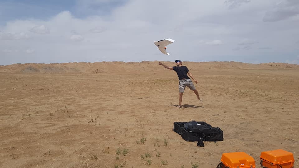
 DSM and orthophoto mapping are incredibly useful tools to mining companies in view of internal progress reporting, environmental issues, volume calculation and planning. When opening up new mine it is absolutely necessary for the surroundings to be surveyed continuously. Dredging companies spend a great deal of time and money on conducting terrestrial survey work, often on a large scale. The UAV service is the must have service for topographic surveying in locations that are often remote, difficult or dangerous to access.
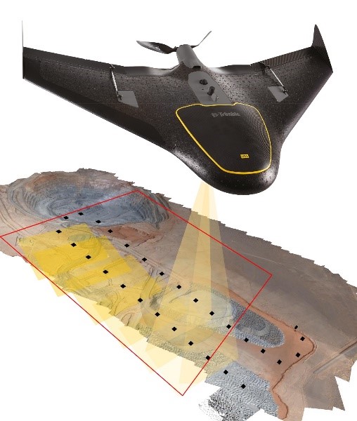
 Similarly to the industries above, research agencies and construction companies are faced with the same problems where infrastructural improvement is concerned. In todays ever-changing landscape, on-demand rapid mapping services (orthophotos) have become an extremely valuable tool for construction partnerships, modelling and planning. Road works, bridges, ramps, canals and flooding areas can now be easily inspected from the air. Large overviews allow engineers to take the necessary precautions when building infrastructures. Our UAV images are capable of developing 1:500-1:25000 scale topographic maps.
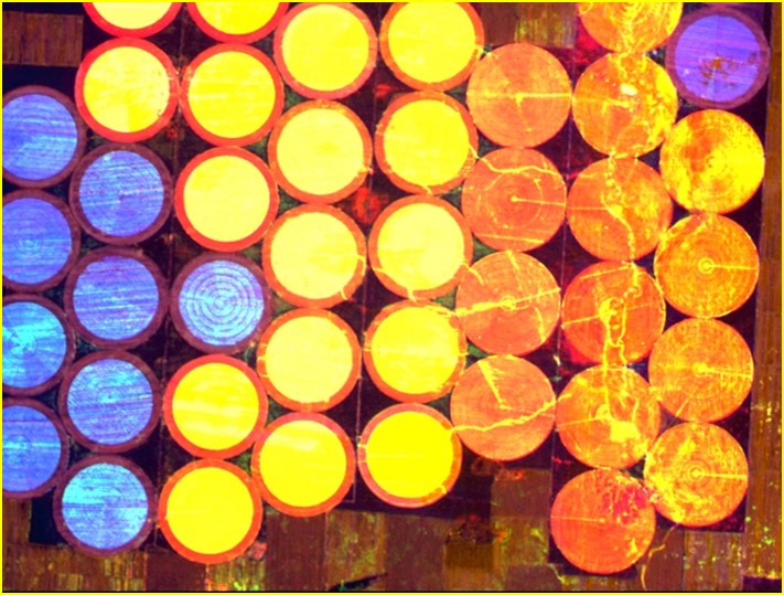
Our prime end-to-end solution can also be applied in precision agriculture. Our imagery allows for proper planning of terrain development, in depth prospecting and visual inspection of crops and plantations. Moreover, by combining visual and near infrared images, our customers get highly accurate information for fertilization management or targeted harvesting.
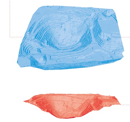
Orthorectified image and DEM with resolution of 2.4cm (depending on the flight height) can be generated from aerial images captured by our UAV.